I know some of these maps might be in the links above Joe, but I found some more. The first is a very cool site that gives water temps all over the bay.
http://mddnr.chesapeakebay.net/eyesonthebay/index.cfm
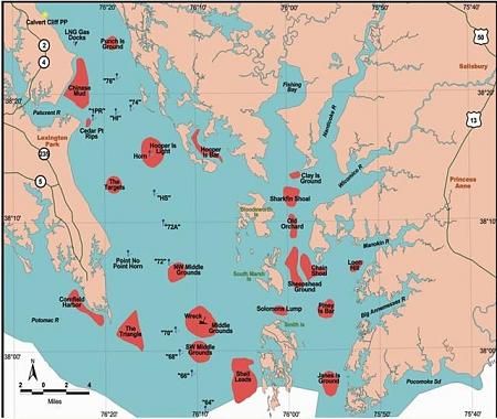
Upper Chesapeake:
Middle
Lower


 Administrator
I know some of these maps might be in the links above Joe, but I found some more. The first is a very cool site that gives water temps all over the bay.
http://mddnr.chesapeakebay.net/eyesonthebay/index.cfm
Upper Chesapeake:
Middle
Lower
 Posting Permissions

 Reply With Quote